
Ground Water Resource Assessment is carried out at periodical intervals jointly by State Ground Water Departments and Central Ground Water Board. Central Ground Water Board (CGWB) is periodically assessing the Dynamic Ground Water Resources of the country as per the assessment units which are block/taluka/mandal/tehsil/firka etc and not the basin. Further, since 2022 the resource assessment is being done on annual basis.
Must read: Steps for augmentation, conservation and efficient management of water resources in India
NATIONAL COMPILATION ON DYNAMIC GROUND WATER RESOURCES OF INDIA, 2023
As per 2023 groundwater resource assessment, the total annual ground water recharge in the country is 449.08 billion cubic meters (BCM).
Annual Extractable Ground Water Resources is 407.21 bcm
Annual Ground Water Extraction is 241.34 bcm
Stage of Ground Water Extraction is 59.26%
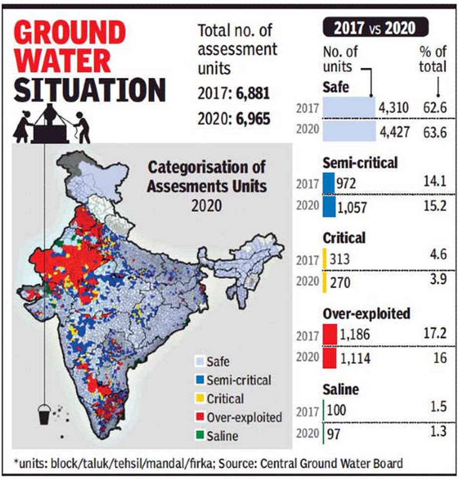
According to National Compilation of Groundwater Resource of India 2023, out of the total 6553 assessment units (Blocks/ Mandals/ Talukas/Firkas) in the country, 736 units in various States (11%) have been categorized as ‘Over-Exploited’ indicating ground water extraction exceeding the annually replenishable ground water recharge. In these areas the percentage of ground water extraction is more than 100 percent.
In addition, 199 units (3%) are ‘Critical’, where the stage of ground water extraction is between 90-100 %. There are 698 semi-critical units (11%), where the stage of ground water extraction is between 70% and 90% and 4793 assessment units (73%) have been categorized as ‘Safe‘, where the stage of Ground water extraction is less than 70 %.
Apart from this, there are 127 assessment units (2%), which have been categorized, as ‘Saline’ as major part of the ground water in phreatic aquifers is brackish or saline.
Further, CGWB is periodically monitoring the ground water levels throughout the country on a regional scale, through a network of monitoring wells. In order to assess the long term fluctuation in ground water levels, the water level data collected by CGWB during November 2022 has been compared with the decadal mean of November (2012-2021). Analysis of water level data indicates that about 61.10 % wells have registered rise in ground water level.
However, ground water levels in certain parts of the country appear to decline mainly because of continuous withdrawal due to reasons such as increased demand for freshwater for various uses, vagaries of rainfall, increased population, industrialization & urbanization etc.
For more information: https://cgwa-noc.gov.in/LandingPage/LatestUpdate/NCDGWR2023.pdf
PRACTICE QUESTIONS
QUES . Consider the following statements: UPSC 2020
1. 36% of India’s districts are classified as “overexploited” or “critical” by the Central Ground Water Authority (CGWA).
2. CGWA was’ formed under the Environment (Protection) Act.
3. India has the largest area under groundwater irrigation in the world.
Which of the statements given above is/are correct?
(a) 1 only
(b) 2 and 3 only
(c) 2 only
(d) 1 and 3 only
Answer: (b) Explanation: Central Ground Water Authority (CGWA) has been constituted under Section 3 (3) of the Environment (Protection) Act, 1986 to regulate and control development and management of ground water resources in the country. Hence, statement 2 is correct. India’s irrigation is mostly groundwater well based. At 39 million hectares (67% of its total irrigation), India has the world’s largest groundwater well equipped irrigation system (China with 19 mha is second, USA with 17 mha is third). Hence, statement 3 is correct. As per groundwater resource assessment 3% units are ‘Critical’ and 11% units have been categorized as ‘Over-Exploited’. Hence, statement 1 is not correct. Therefore, the correct answer is (b).